Glacier National Park - Part 2: East Glacier
Here's a video recap of our Montana trip!
Day 4
The weather report wasn’t great today; there were high wind and snow advisories at the higher elevations >5000 feet. Logan Pass ended up closing for the first time this season due to the ice and snow. The conditions weren’t much better at lower elevations (40 degrees Fahrenheit and rain), so we slept in.
Later in the day, Cody and I went to a nearby distillery, since he was interested in their whiskies. After sampling a flight, he ended up buying a bottle called “Two Medicine,” named after an area of the park, that he described as tasting like he was, “chewing a weed (very hoppy).” I’m not sure how this would be an enjoyable experience, but whatever makes him happy! After this, we drove to the town of Whitefish about 40 minutes away. We had coffee, tea and biscuit sandwiches at Wild Coffee Company. We also climbed at an indoor gym called Rockfish Climbing and Fitness. Although it was a small facility, it had a fun atmosphere with plenty of challenging routes for us. We were a bit out of climbing shape, so when the bad weather knocked out the power, after an hour of climbing, we decided to leave.
"Yum, tastes like weeds..."
We relocated from West Glacier to East Glacier on this day, so we started our drive on Highway 2, around the southeast end of the park. It was an interesting drive since the terrain was so drastically different; there were long flat sections where we could see the road for miles and miles up ahead, and other areas where we were surrounded by towering mountains. The weather was rainy and windy. We would see cows standing by the fences, with their butts facing toward the winds. Some of the towns were dilapidated with junk piles outside their homes.
Snowy conditions on the ridge
After almost 3 hours, we arrived at the Many Glacier entrance at the east end of the park. We would be staying in a cabin at Swiftcurrent Motor Inn for the next few days. I was a bit apprehensive about our accommodations. It was on the lower price end of lodging in the park, but it was by no means cheap. The amenities were sparse. We had a bed, a small table with 2 chairs, and a sink with cold water. However, we did not have our own bathroom and would need to walk a short distance for the toilets and showers. It ended up being more than fine, sometimes a short wait for the showers (I did talk to a few people in the bathroom while waiting for the showers – one woman had just gotten engaged that day!). On the plus side, we were within walking distance to some of the more popular trailheads that we were planning to hike.
Day 5
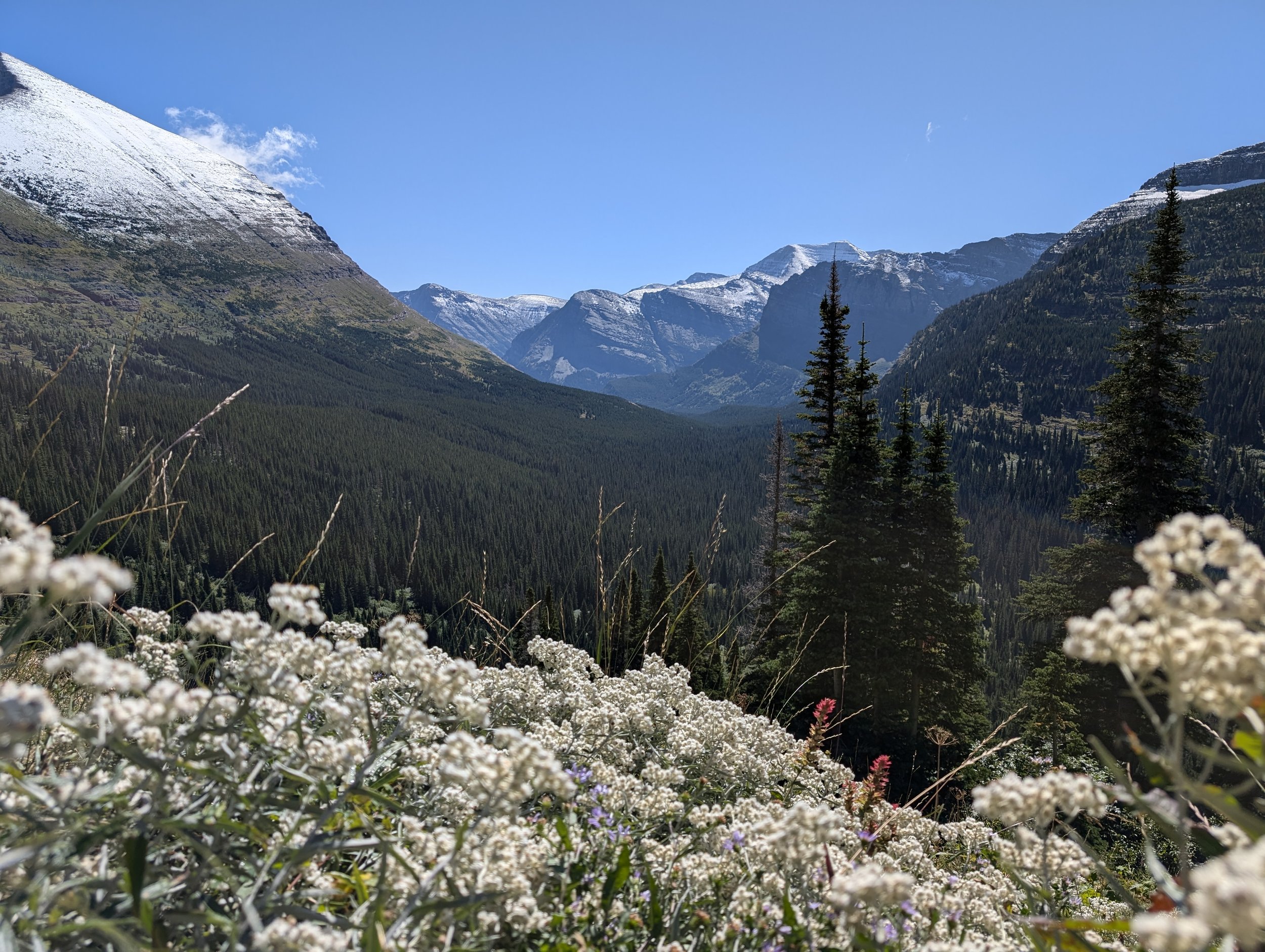
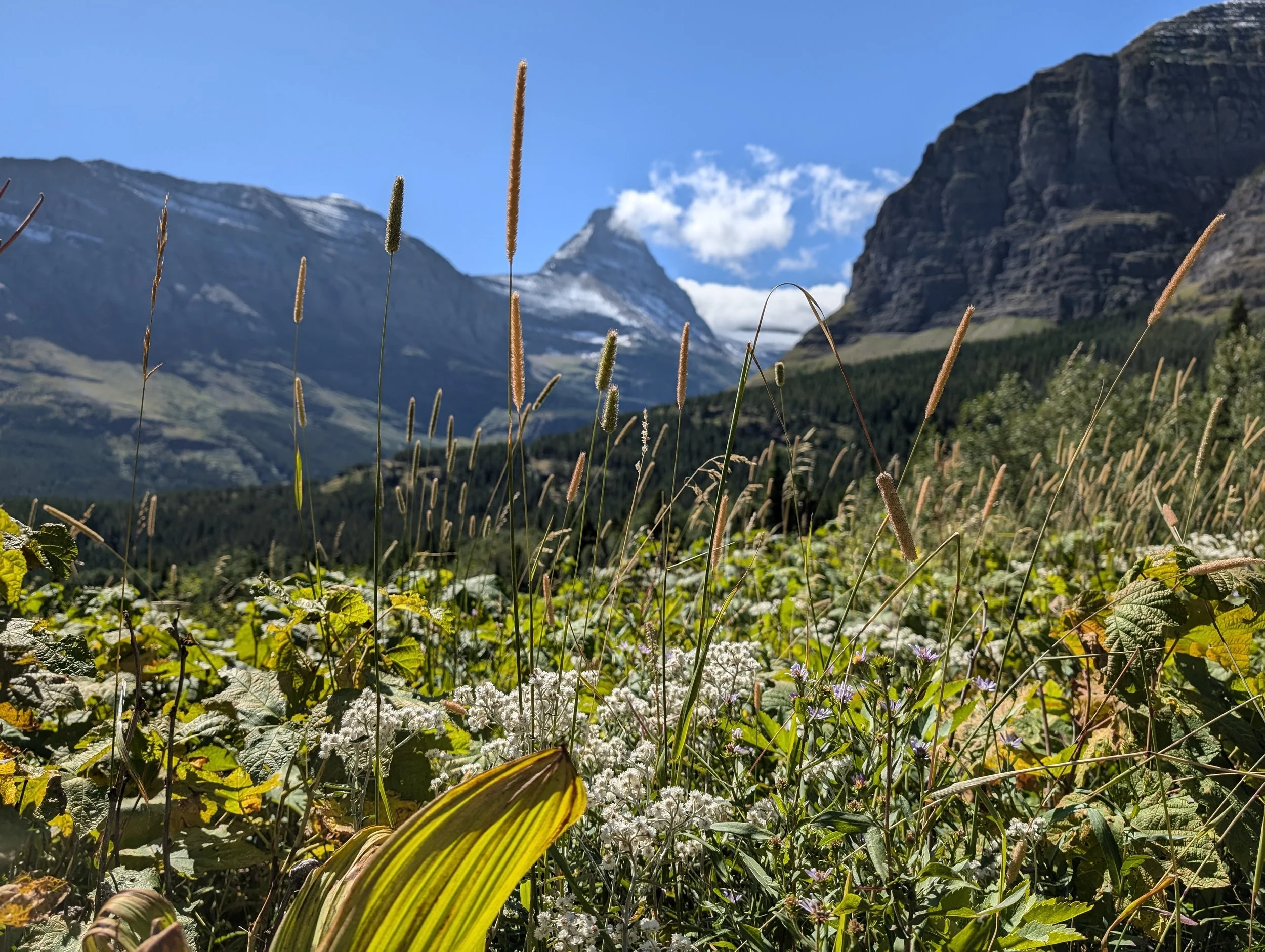
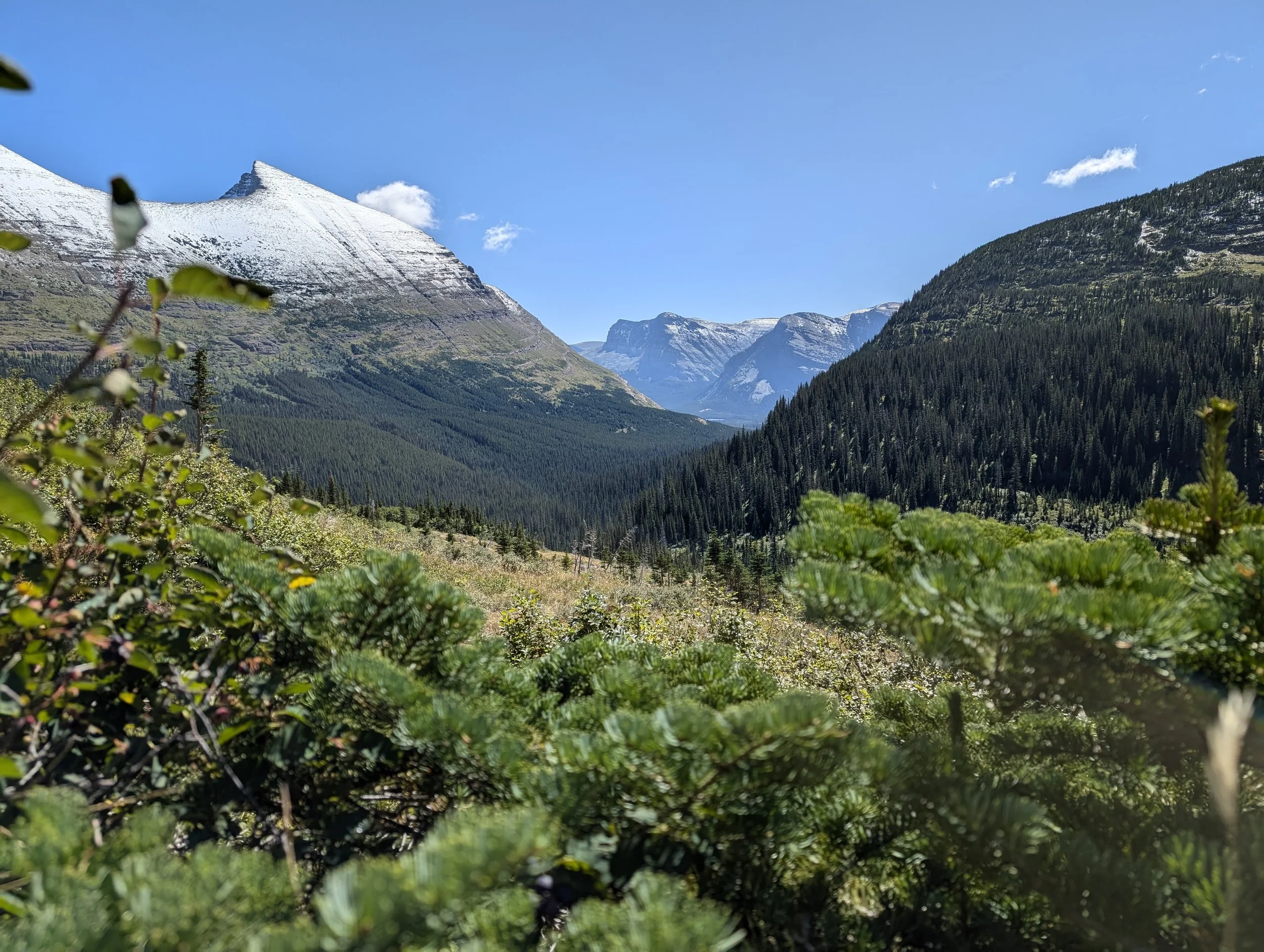
We hiked to Iceberg Lake on this day. It is an out and back route that is about 10 miles long. The elevation gain/ loss is gradual, about 1500 feet. At times, we were submerged in the forest and the scent of pine, and at other times, we had expansive views of the mountains and valleys. We saw snow capped peaks in the distance.
Iceberg Lake
Since this was our first longer hike, Cody and I were more nervous about seeing bears. It was a well-traveled route, so we tried to stay in the vicinity of other people on the trail. We joked and would call people walking up ahead of us, “bear shields.” We also started developing our song writing skills (they say to make noise to avoid surprising the bears) – mostly an ode to the bears of Glacier National Park. Here are a few of our favorite verses:
(To the tune of No Scrubs by TLC)
Bears, we don’t want no bears
Bears are a mammal that try to eat yo face
Eating berries on the alpine ridge,
Trying to holla at me.
(To the tune of We Will Rock You by Queen)
We will, we will spray you
We will, we will spray you
Spray on your face
You big disgrace
Spray and berries all over your face
We will, we will spray you!
Surrounded by yummy berry bushes
After our hike, we had lunch at Nell’s (near our cabin) – burger, chicken Caesar salad and sweet potato fries. We rested a little bit, and then went on a short walk around Swiftcurrent Lake to the Many Glacier Hotel about 1.5 miles away.
The Many Glacier Hotel must be the place where the fancy people stay. It looks like a Swiss chalet and some of the staff wear Lederhosen outfits. It has huge Douglas fir beams. It was originally constructed in 1914. During that time, WWI hindered American tourists from traveling to Europe. Louie Hill, who was president of the Great Northern Railway and leading construction of the hotel just really liked Switzerland too. We got coffee and tea and sat in the lobby to relax.
I was people watching and started noticing that many people were coughing and sneezing. I told Cody that something didn’t seem right. He was distracted looking at the pictures we had taken on our hike and completely oblivious to what was happening around us. Then, I saw a few people rushing by holding their shirts up to their faces. The back of my throat felt irritated, and I suppressed an urge to cough. A few seconds later, a staff member alerted us that someone had accidentally set off their bear spray in the lobby, and everyone should probably evacuate. I am still shocked that Cody was completely unaffected!
Trail length: 9.6 miles
Elevation gain: 1,459 feet
Total distance walked: 15.91 miles
Day 6
Another long hiking day, as we set our sights on going to Grinnell Glacier. We went to the camp store for breakfast (yogurt, Chex mix and a breakfast burrito). When we got to the trailhead, it was closed for maintenance. This meant that we had to walk an extra 2 miles to get to the start of the trail!
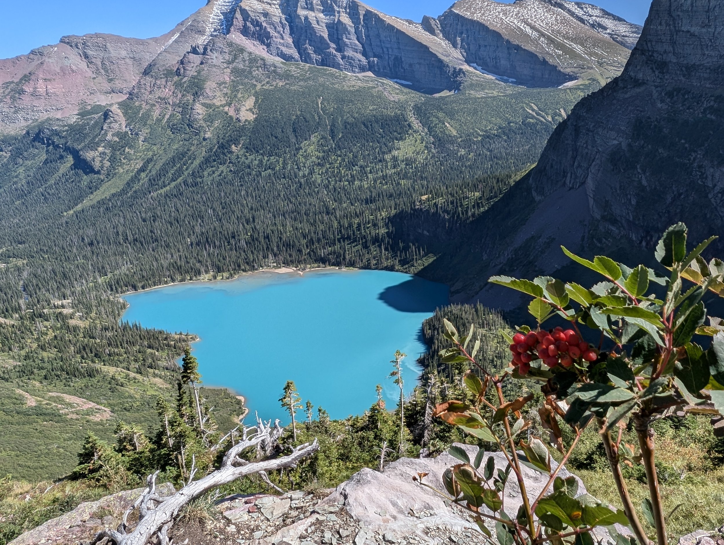
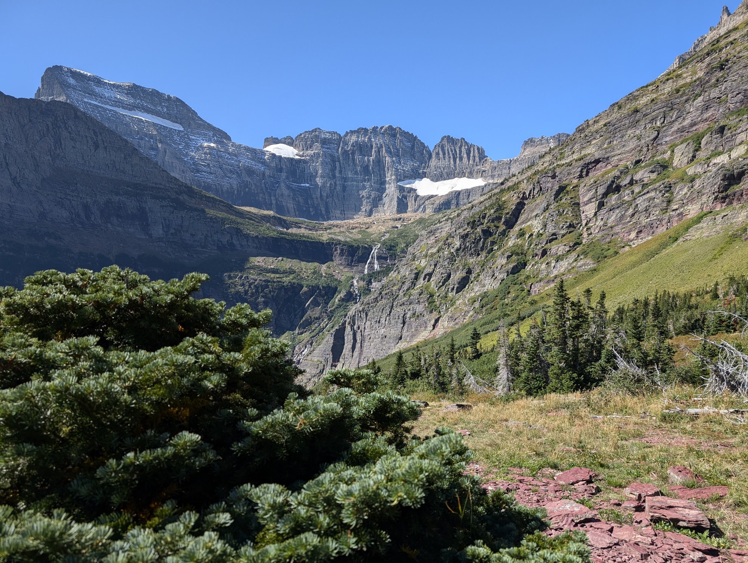
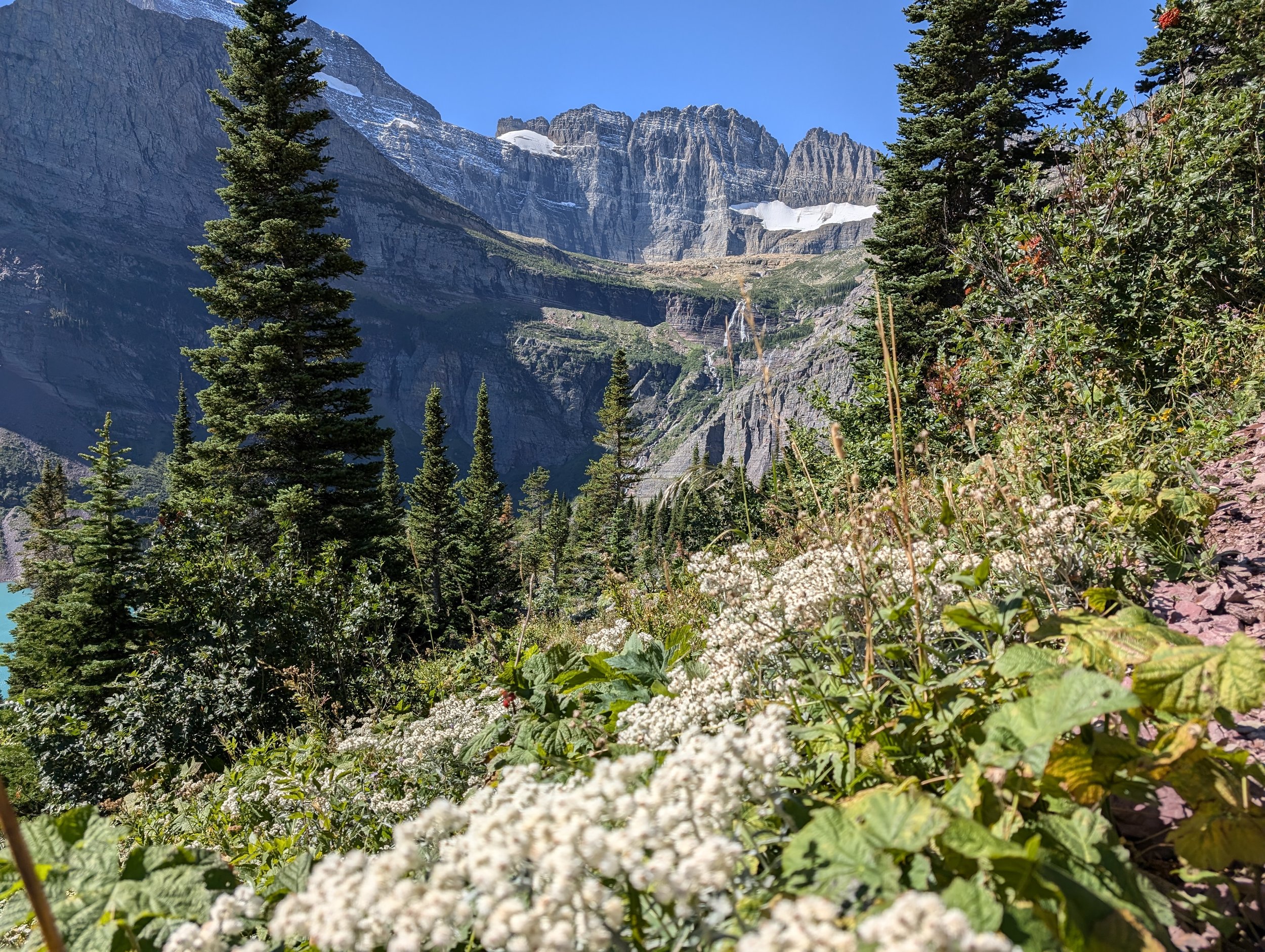
The views were beautiful throughout the entire trail. The mountains were surrounding us, and we could see Josephine Lake and the exquisitely turquoise Grinnell Lake down below. We encountered more rocky trails and small stream crossings. It was a steady incline up, but the final push to the glacier was even more steep. We were impressed by the bravery and determination of parents to get their babies and toddlers up the trail with carriers on their back. We also saw young children making their way up – one girl asking us “Am I almost there yet?” looking exhausted with her miniature hiking poles, followed by her mom dragging her younger brother along. I think we may have seen the dad at some point, further along the trail taking pictures of the wildlife, possibly abandoning his family. Some of the wildlife we saw on this trail included bighorn sheep, deer, and a snake. (Gratefully) no bears!
Grinnell Glacier
Seeing the glacier and the lake was bittersweet. Grinnell Glacier has been receding from the impressive size it once was. There were a few floating icebergs in the lake, but it was sad to know that with global warming, they will also eventually disappear. In 1997, the United States Geological Survey (USGS) group started a project to reshoot historical photos of the glaciers from the early 1900s. They provide a snapshot of just how much the glaciers have changed (or disappeared) over the years. It’s an interesting project, and the photos are worth examining. Check it out here: USGS Glacier Repeat Photography Project
Bighorn sheep
It was a tough trek back on sore legs. Once we were about a mile away from the trailhead, we saw a group of hikers going off in another direction to see a moose. Cody and I wanted to see the moose too! So, we wearily took a detour to see it. Honestly, all I could see was a brown blob off in the distance, but it was still worth it. It ended up adding another mile to our already long day. We stopped at the fancy hotel to have dinner – a chicken sandwich for me and burger for Cody. We also indulged and shared a fried calamari appetizer and local cider.
A moose, allegedly
Trail length: 10.0 miles
Elevation gain: 2,100 feet
Total distance walked: 18.13 miles
Day 7
Saint Mary Lake
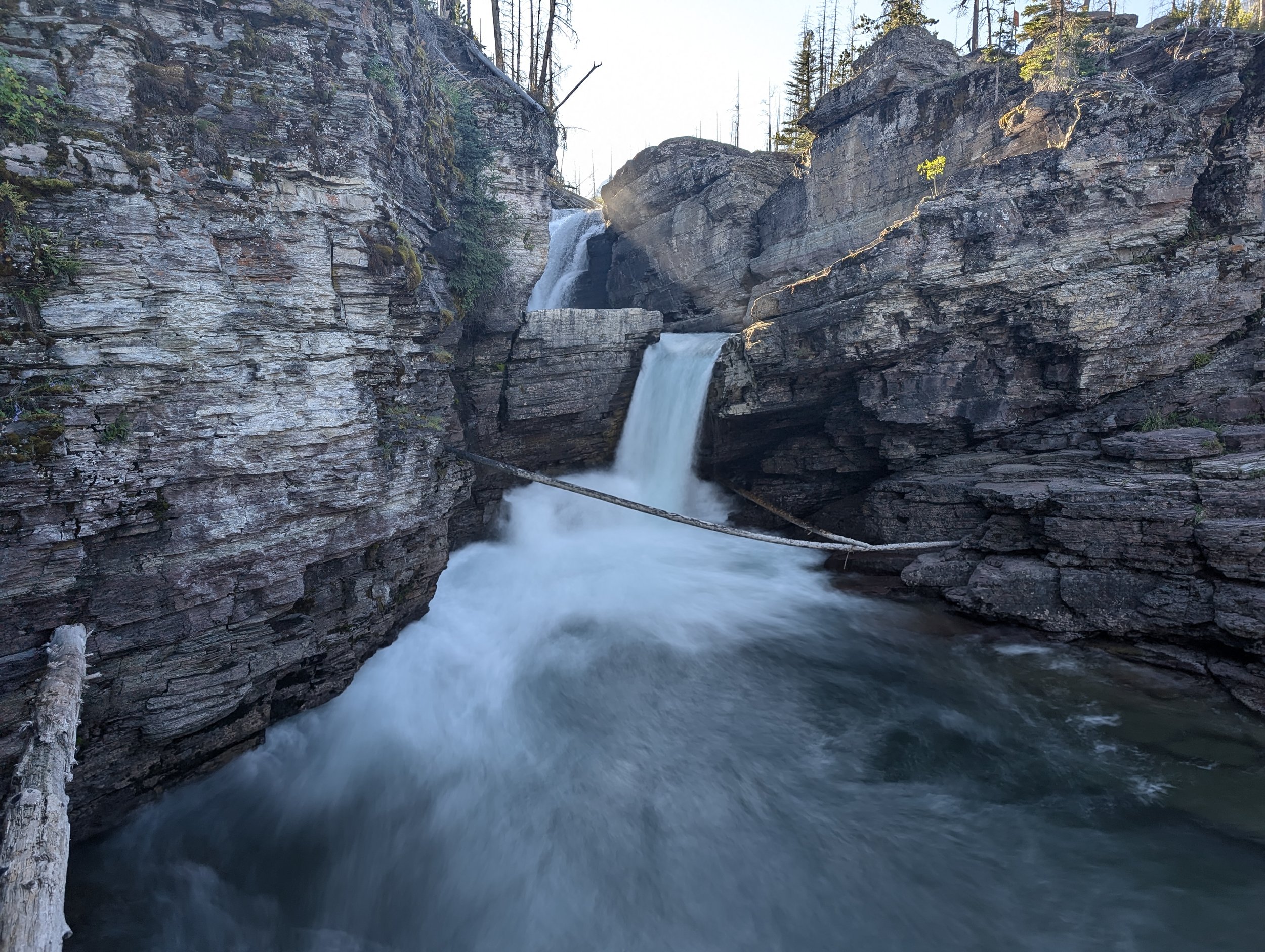
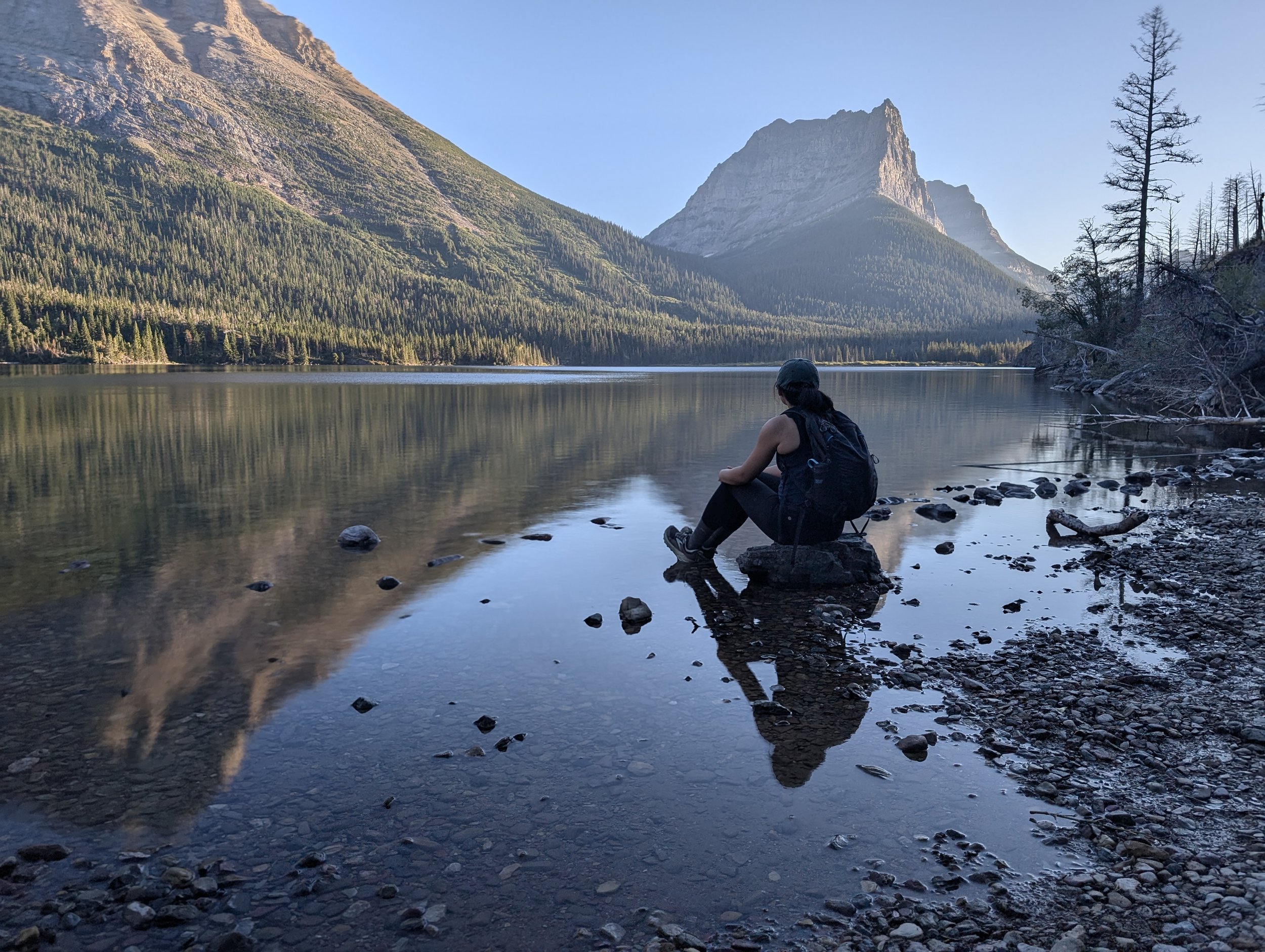
There was no way that I could do another long hike today. I woke up, ate breakfast, and then subsequently took a nap. Once I regained consciousness, we decided to explore a different area in the park. We drove to the St. Mary entrance. Of course, the lake was beautiful… they’re all freaking gorgeous! The water is extremely clear. We walked down a steep path through the woods to the shore and splashed our feet in the cool water. We also went on a smaller hike to see Barring Falls and St. Mary Falls.
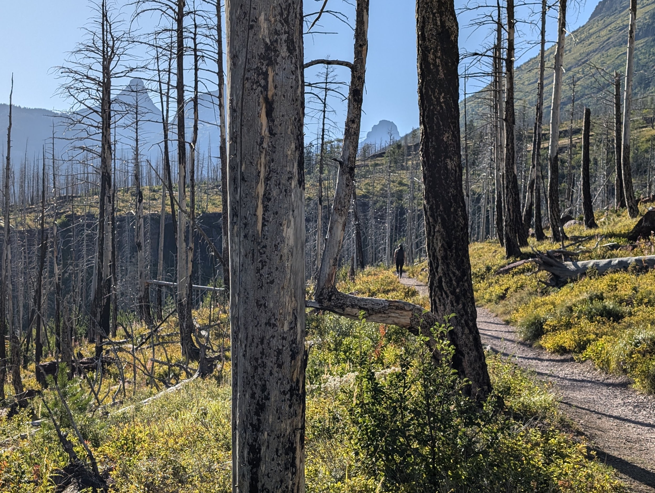
The hike to the waterfalls took us through an area of forest that had been the site of a 2015 forest fire. It takes a long time for an alpine forest to recover due to the contracted growing season, but you can see the forest growth coming back, as we saw small pine trees dotting the landscape.
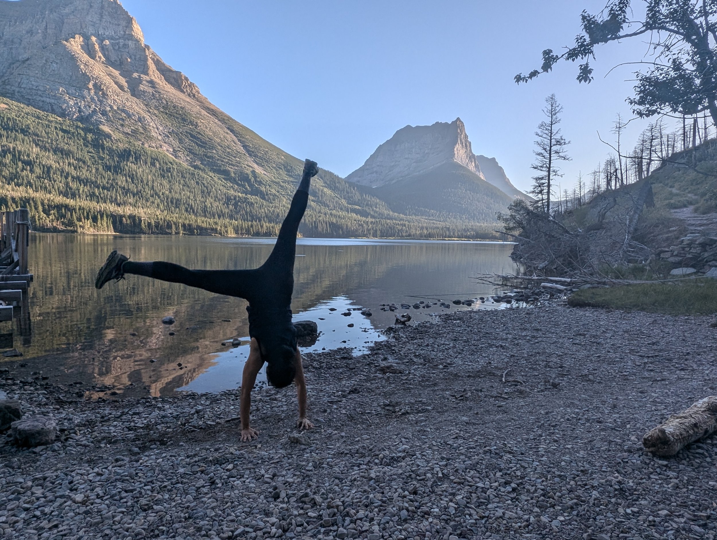
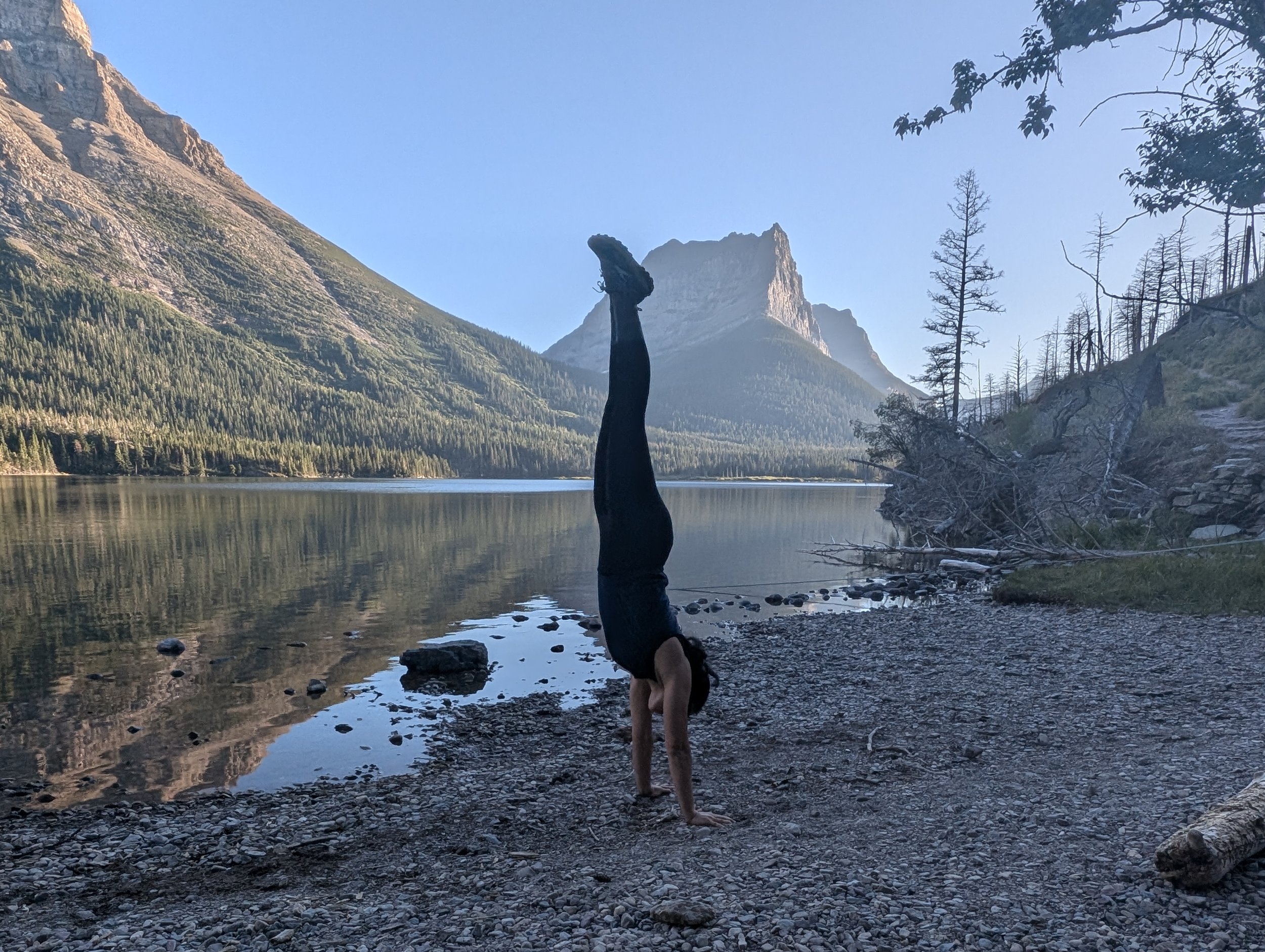
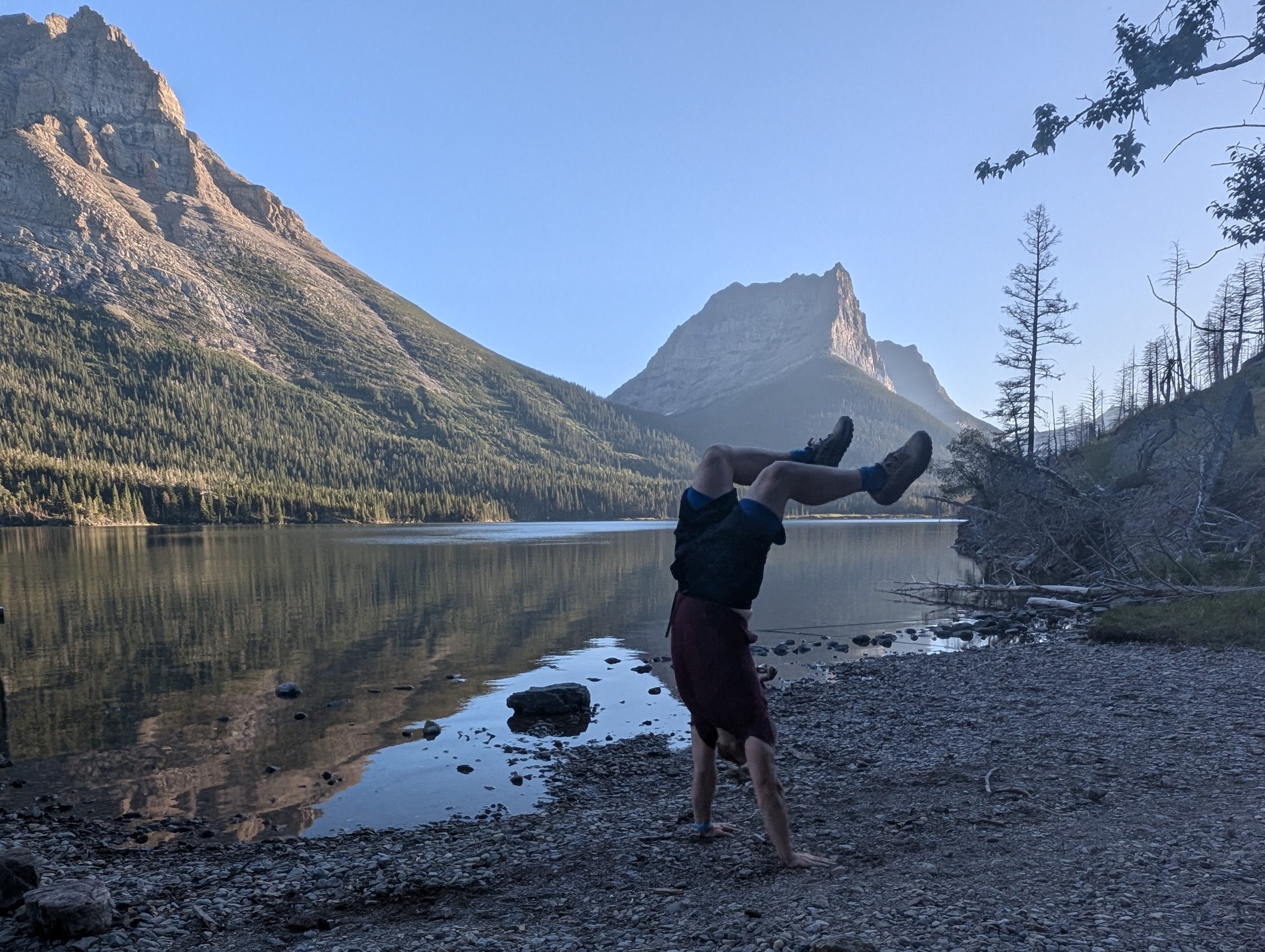
On the walk back we found a secluded spot along Saint Mary Lake, and appreciating the solitude, we tried our hand at a few cartwheels and handstands along the pebbly beach. We’re not as spry as our younger selves, but we managed (avoiding any injuries)!
Trail length: 5 miles
Elevation gain: 550 feet
Total distance walked: 7.64 miles
Day 8
This was our most exciting and challenging hike yet. Cody had been talking about this trail the whole week! The Garden Wall/Highline trail starts near the Logan Pass visitor center. To get a parking spot, you need to get up early. We checked out of our cabin at 5:10 am and started our drive. We arrived at Logan Pass at 6:10 am. By that time, the parking lot was about half full. By 6:30 am, it was completely full.
Cody had a great idea to make breakfast in the parking lot, so he boiled water to make tea and rehydrate our “biscuits and gravy” meal. That probably doesn’t sound very appetizing, but it’s one of our favorites. While the parking lot was hectic, with cars circling to find non-existent parking spots, Cody and I had a very relaxing breakfast sitting in the van.
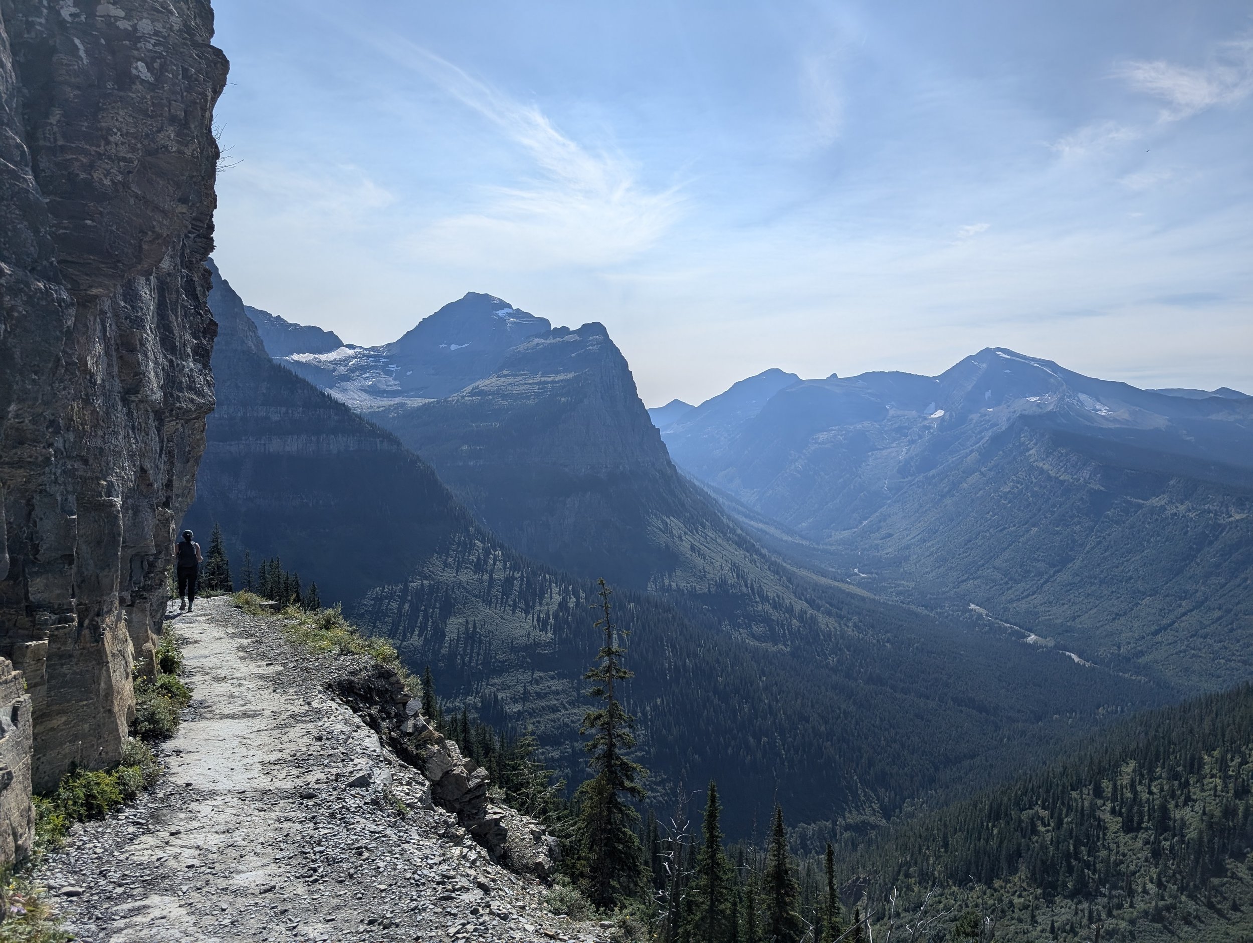
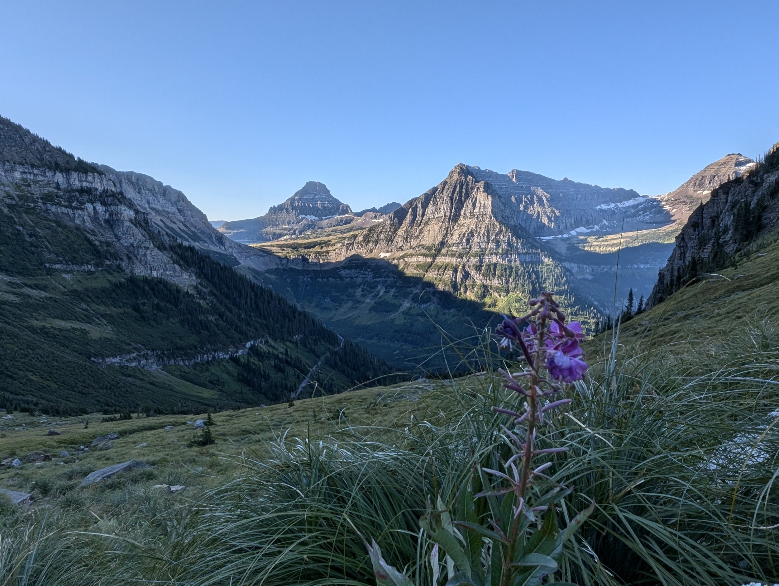
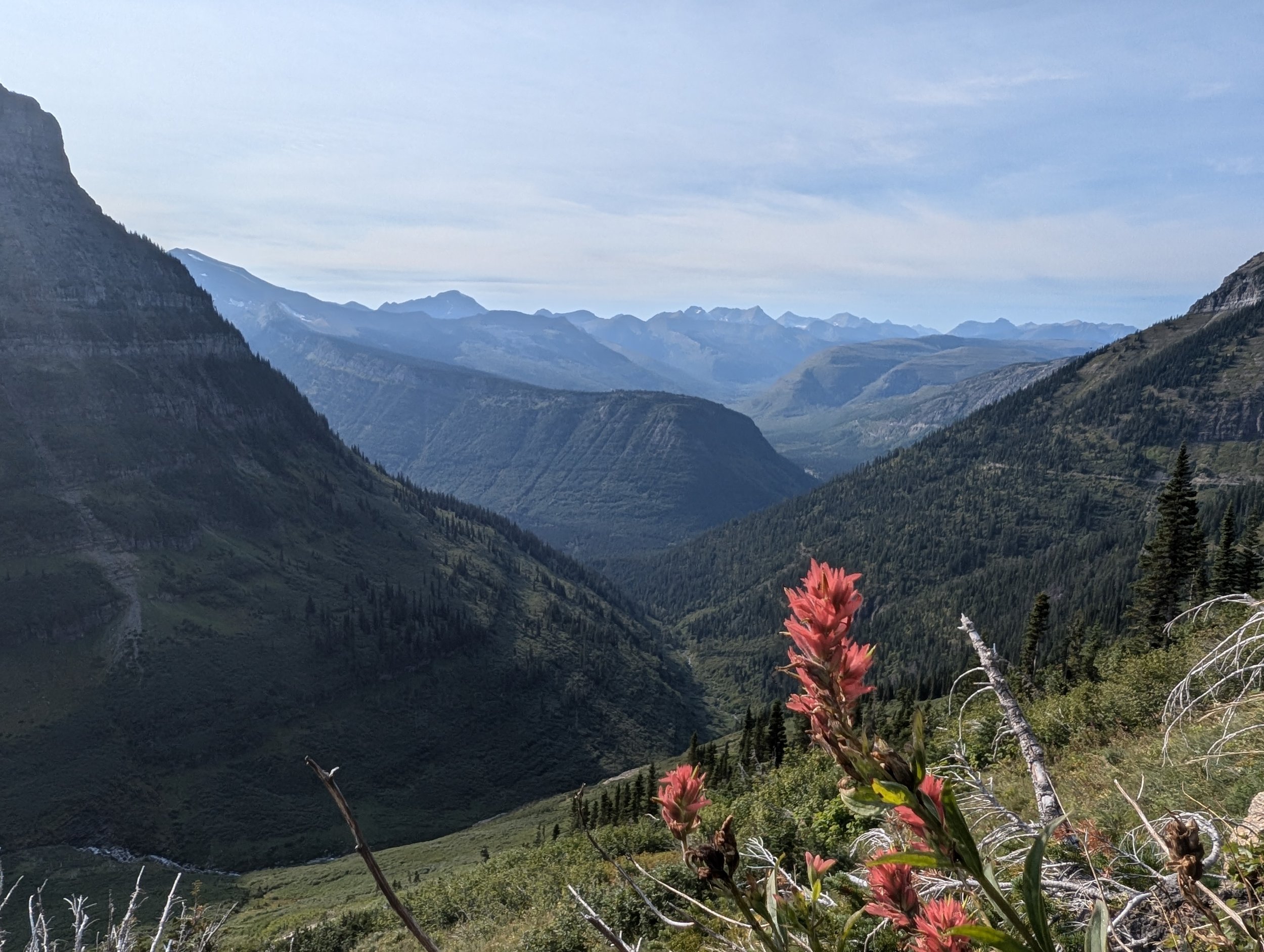
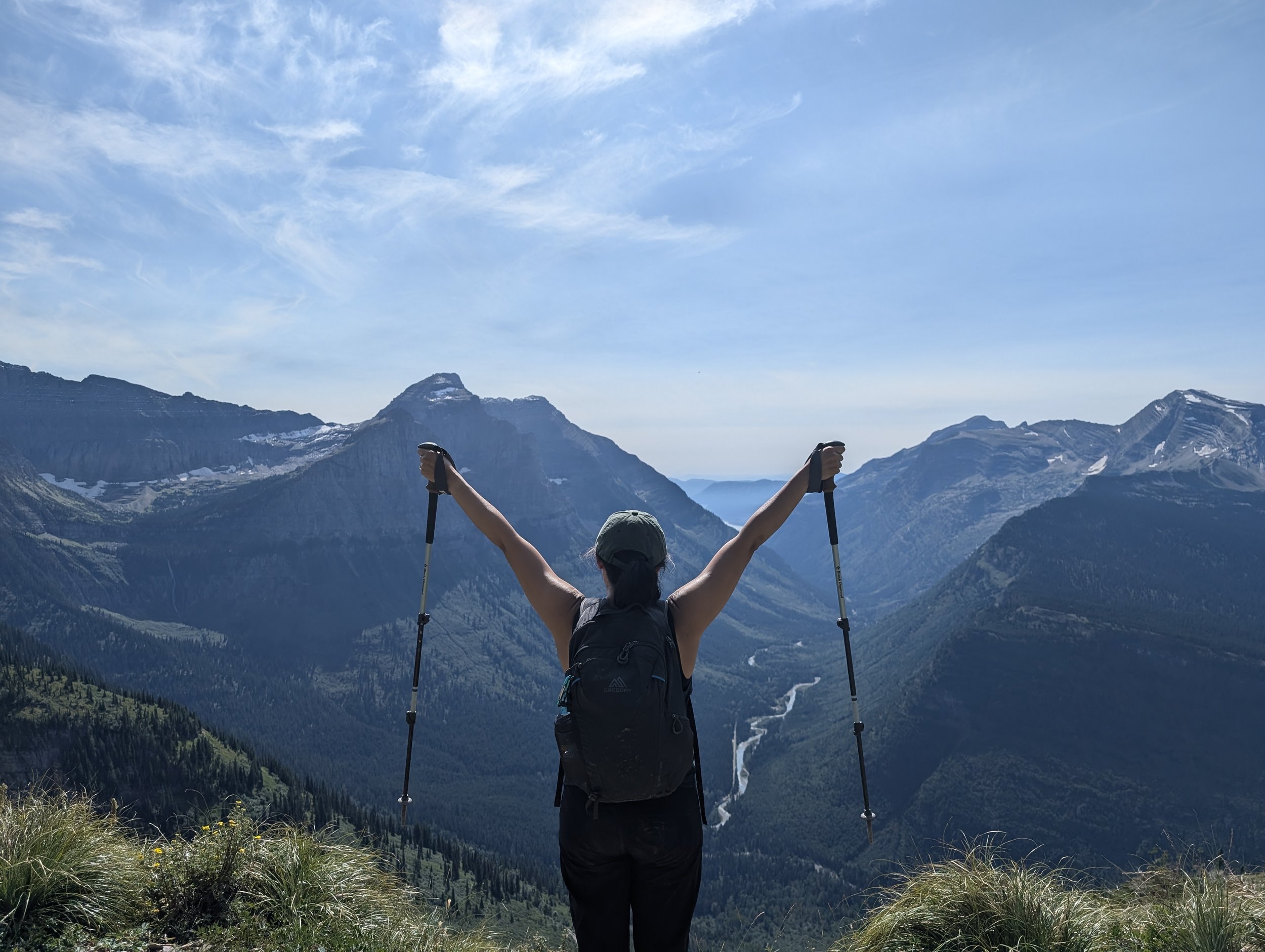
Narrow trails and glowing peaks on the Highline Trail
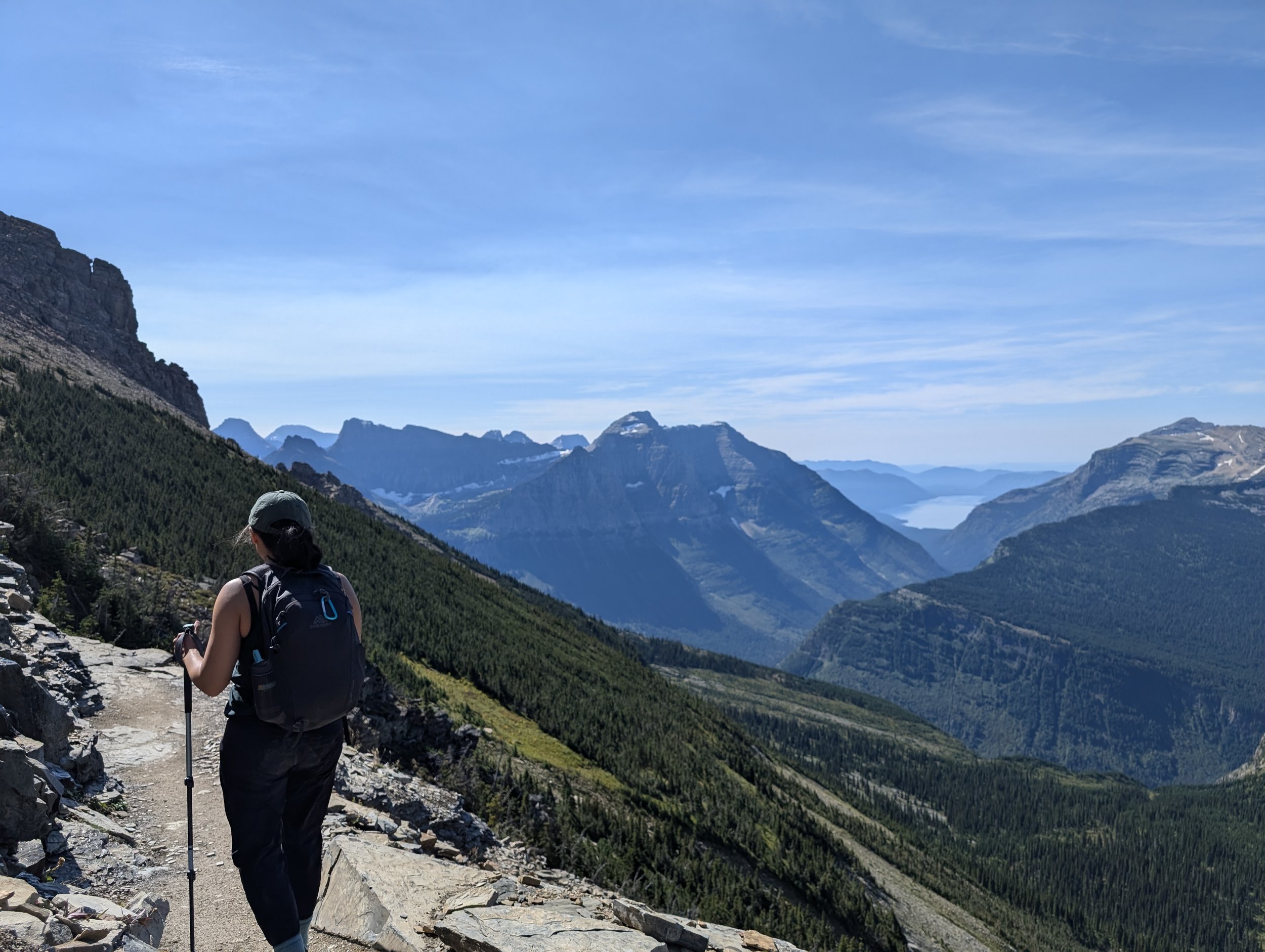
We started our hike around 7:30 am. Walking along a trail that is 3-4 feet wide in many spots doesn’t sound too bad. However, when the side of the trail also drops off more than 1000 feet, and tripping on a rogue rock could mean serious injury and likely death, walking seems like a more harrowing feat. The first half mile or so there are fixed cables along the cliff wall to hold onto, but for the rest of the trail, you’re on your own.
Still in good spirits, but delirium is setting in
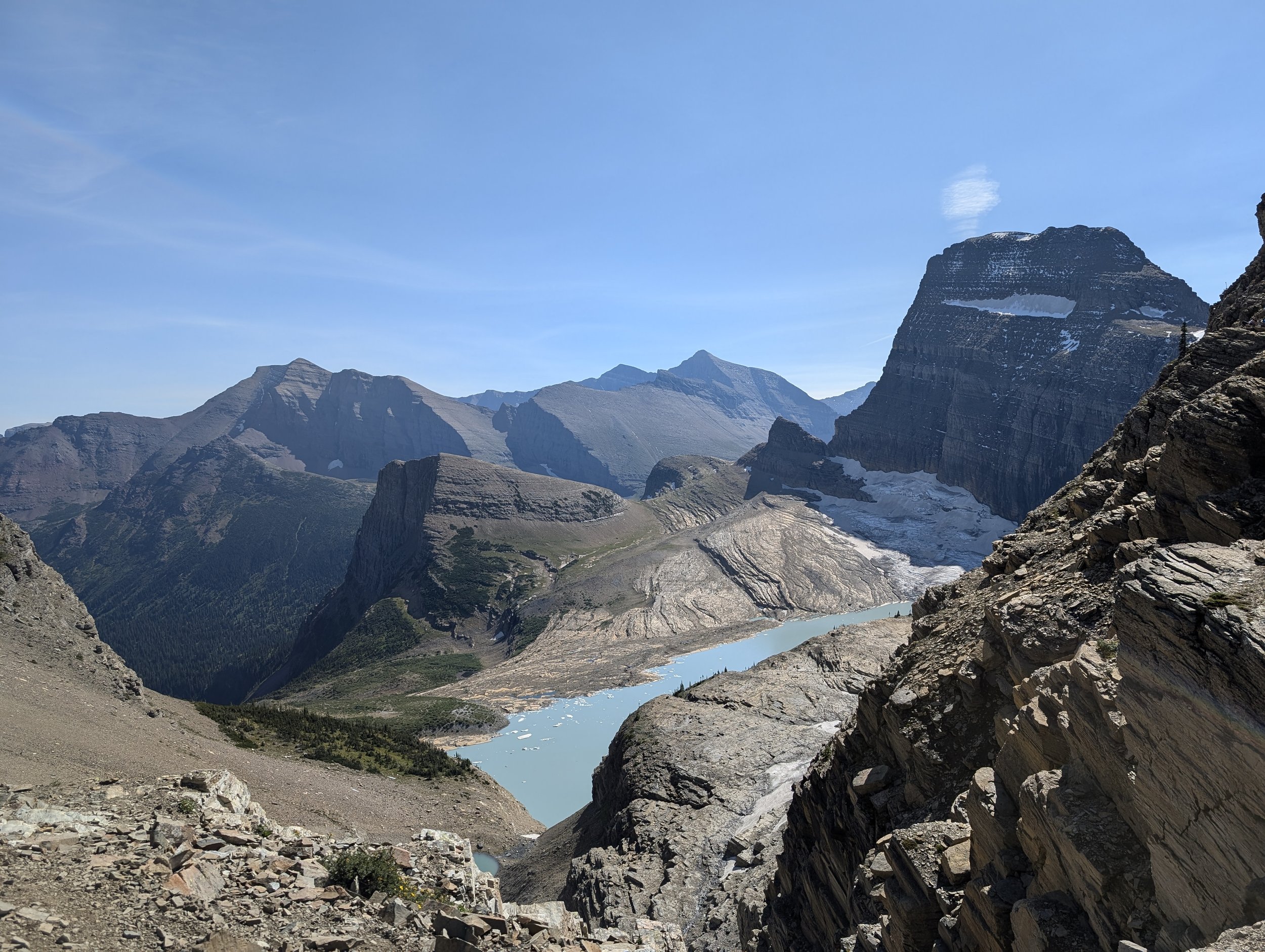
We hiked along the trail for about 6.9 miles with amazing views in every direction. Then, we got to the junction of the trail where you can decide to hike up to the Garden Wall/Grinnell Glacier Overlook. This is 0.8 miles long, with a quick elevation gain of 1000 feet. Cody was concerned about me, frequently reassuring me on the way there that we could turn around at any time. But I was determined to make it up to the overlook. We went slow, huffing and puffing every step of the way. The views were stunning overlooking Grinnell Glacier to the left and views of Lake McDonald Valley on the right.
The Garden Wall Trail...that was tough
The descent from the overlook was scary for me, with narrow paths, wet slabs of rock, and loose pebbles strewn about. I felt like this was worse than Angel’s Landing at Zion National Park. The trek back to the trailhead was challenging, but we took our time and enjoyed the beautiful views. Unlike the other hikes we’ve been on, there were no babies/toddlers to be seen on this one.
Length:15.4 miles
Elevation gain: 3,415
Total distance walked: 19.17 miles
Part 3, we head to Whitefish, MT for a few days to finish out the trip!


